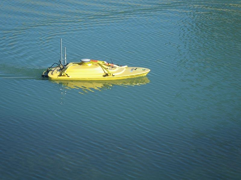
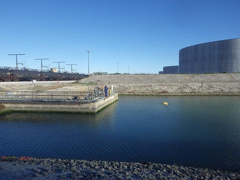
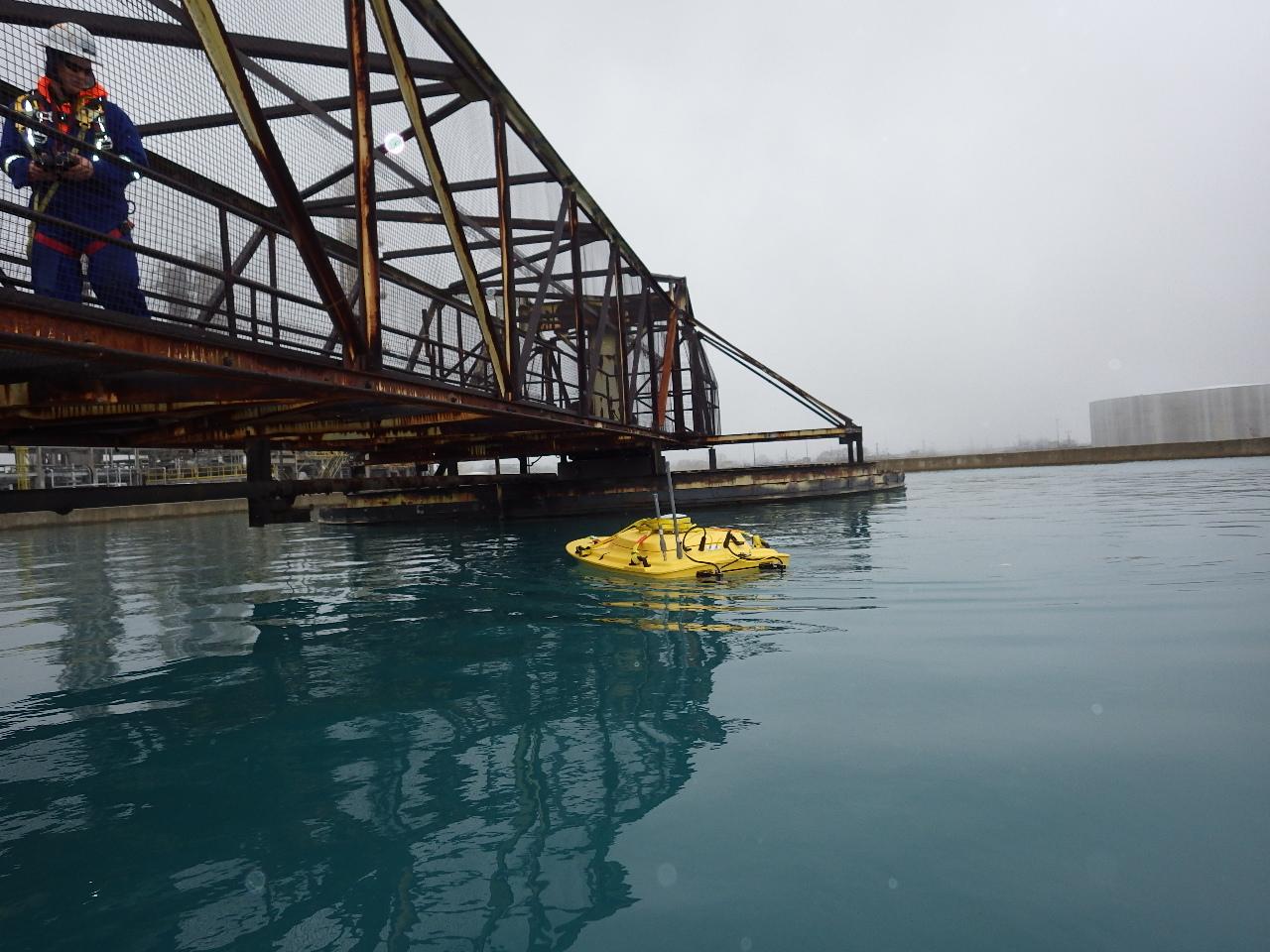
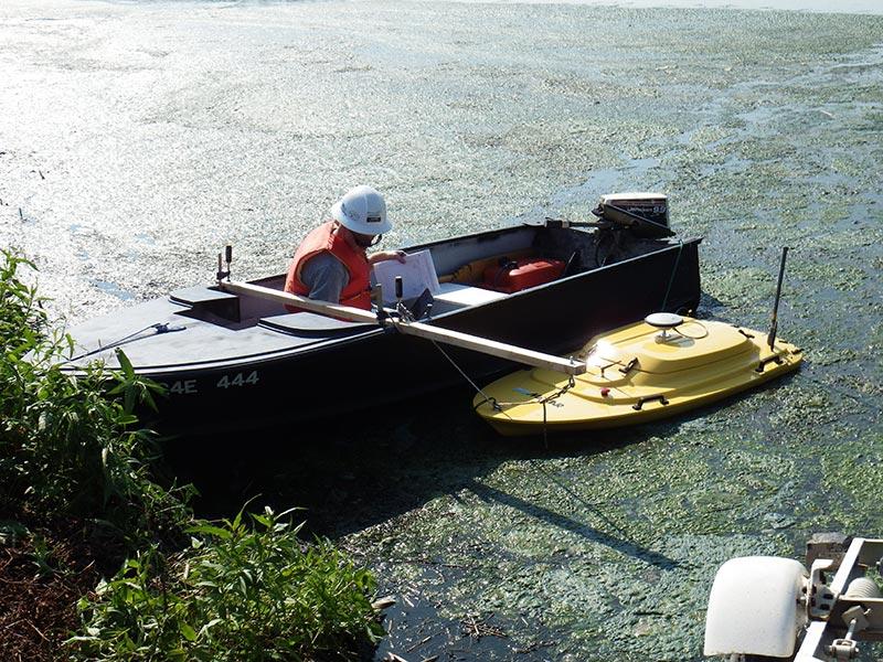
Remotely Operated, Unmanned Hydrographic Acoustic Sonar Sediment Volume and Distribution Surveys
Bathymetric Surveying and Volume Modelling
Areas include but aren’t limited to:
Waste water lagoons
Chemical lagoons
Storm water reservoirs
Affluent ponds
Clarifiers
Basins
Tailing and leaching ponds
Lakes
Shipping channels
Harbours
Ports
Waterways
Cooling tower reservoirs
Pulp and paper mills
Real time data collected to allow sampling and issues to be dealt with in a timely manner.
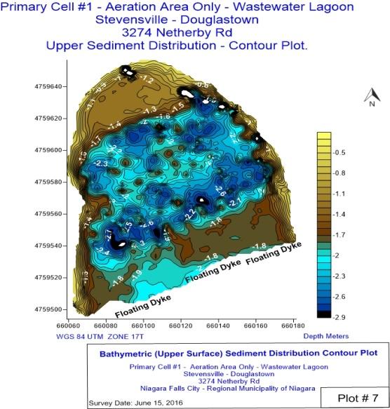
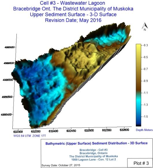
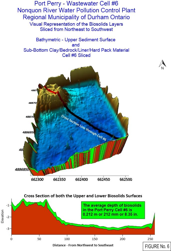
These highly accurate underwater acoustic sonar lagoon sludge mapping and inspection surveys assessment will verify the waste water lagoon meets the intent of the as-built environmental compliance approvals and treatment processes.
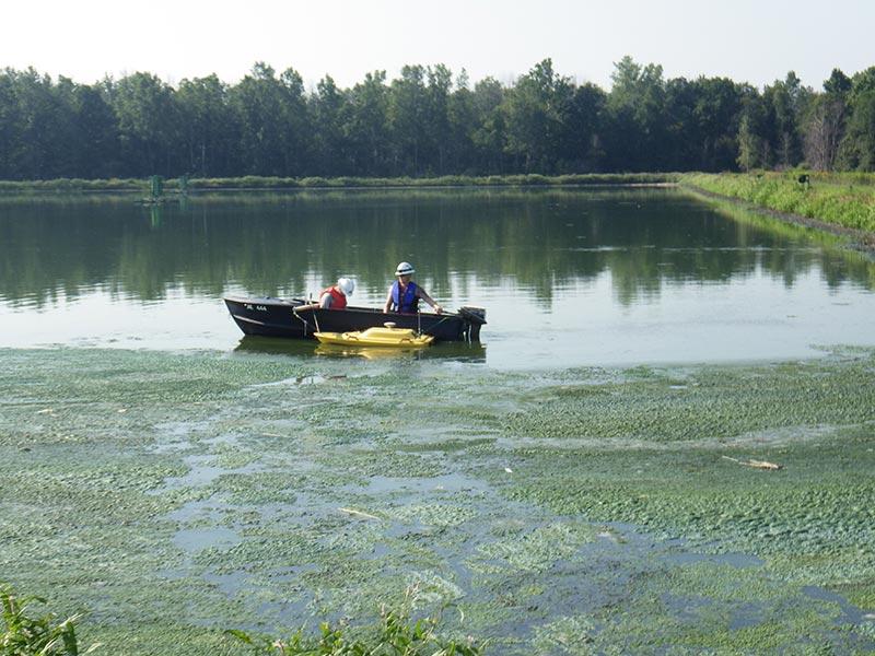
A GPS based system provides a detailed topographical map outlining areas of concern that can then be dealt with through sediment removal, dredging or by other means dictated by the facility. The equipment can be remotely used to limit exposure and access areas that a manned boat could not in the past. Sludge judging can be used to verify test results or to test obstructions.